Connects input vertices with densified approximations to geodesic paths between them.
DensifyGeodesic(SpatialReference SpatialReference, Geometry[] InGeometryArray, double MaxSegmentLength, LinearUnit LengthUnit)
|
Parameter |
Description |
|
SpatialReference |
The spatial reference of the geometries in the InGeometryArray. Cannot be null. |
|
InGeometryArray |
The array of geometries to be densified. All geometries are assumed to be in the coordinate system spatial reference. |
|
MaxSegmentLength |
The maximum allowable length of a segment in the densified geometry. |
|
LengthUnit |
(optional) The unit of measure for the MaxSegmentLength parameter. |
Return Value
An array of polylines and polygons (Geometry[]).
Remarks
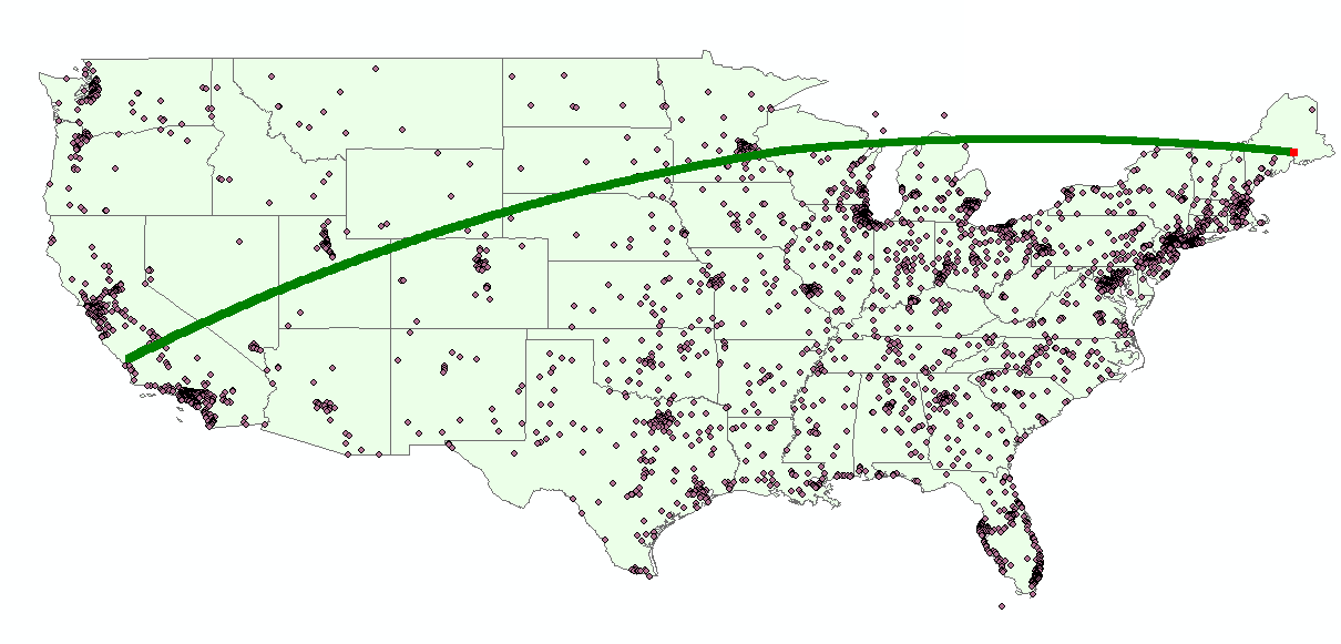
Densifies each polyline or polygon in the input array by plotting points along the geodesic paths between existing vertices.
MaxSegmentLength is expressed in some linear unit of measure. If the LengthUnit parameter is specified, then MaxSegmentLength is expressed in those units. If the LengthUnit parameter is not specified, then MaxSegmentLength is expressed in the linear units of the input spatial reference, if the spatial reference is a projected coordinate system. Otherwise, it is assumed to be expressed in meters.
If the spatial reference is a projected coordinate system, then the input geometries will be inversed projected, geodesic path points will be plotted, and the result will be forward projected into the same spatial reference.
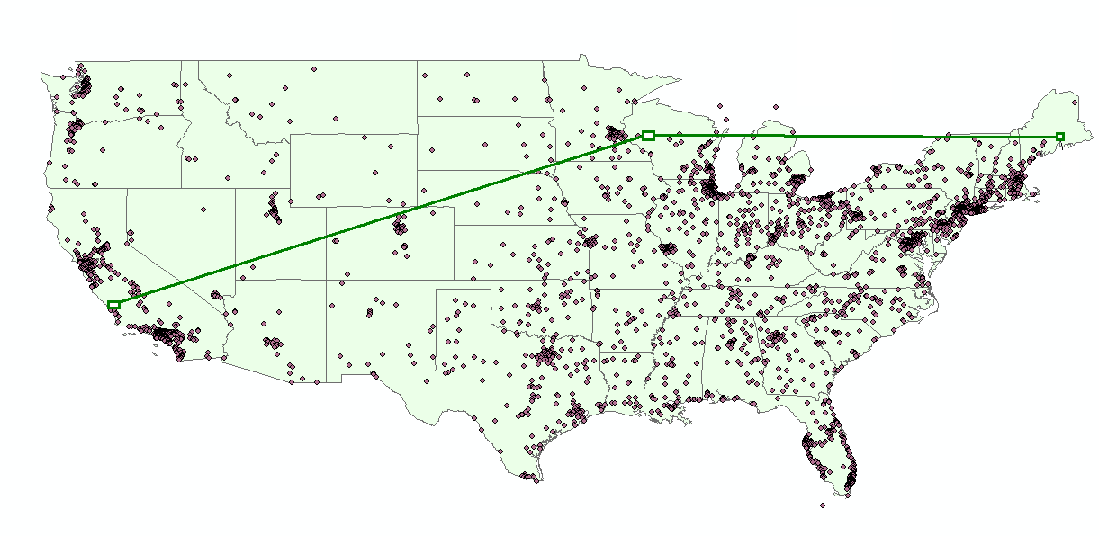
The figure below illustrates the this operation applied to a polyline with 3 vertices, with a max output segment length of 10,000 meters.
|
|
|
Figure 1 - The DensifyGeodesic operation applied to a polyline with three input vertices.